|
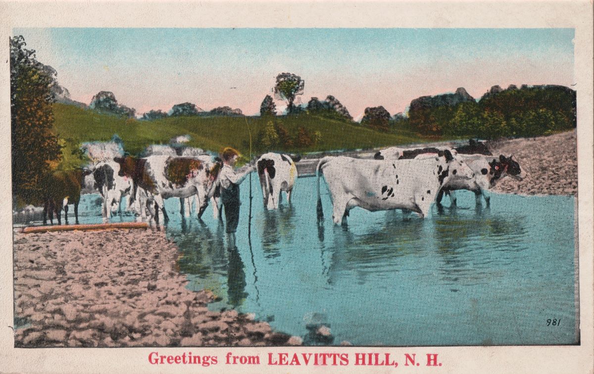
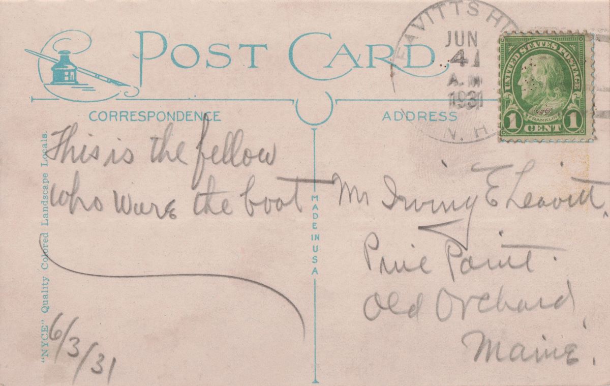
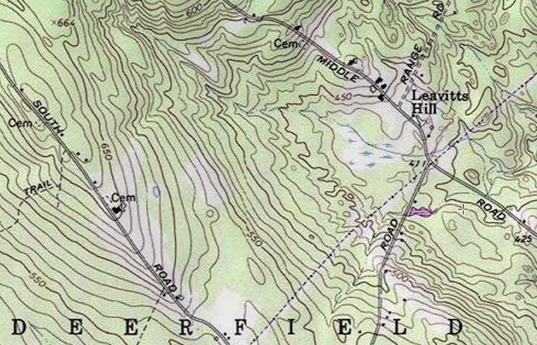
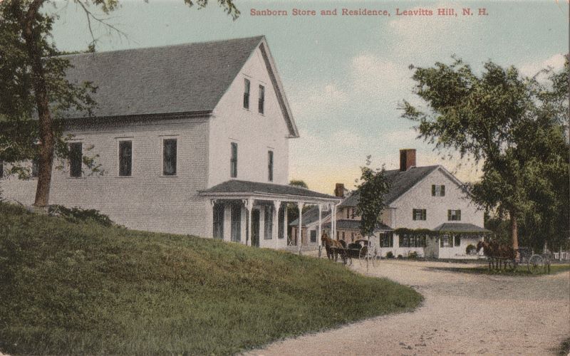
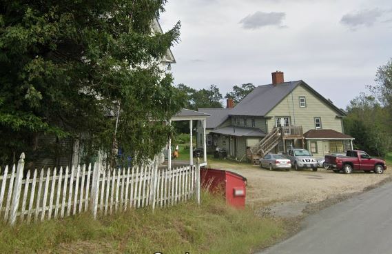
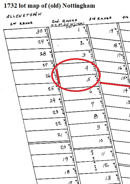
LEAVITTS HILL is located in the south-western part of Deerfield, New Hampshire. It had its own post office, as seen on the reverse side of this postcard, postmarked June 4th, 1931. I (Steve D.) lucked out on this purchase, as this card was even addressed to a Leavitt (sender unknown). I couldn't identify the location of the photo on front. This 1909 postcard is titled "Sanborn Store and Residence, Leavitts Hill, N.H.". The building on left housed the local post office, which was in existence from 1886 to 1963, when it was discontinued. It was run by Benjamin Edwin Sanborn (1886-1939), James W. Fife Jr (1939-1962), and Mrs. Phyllis Sanborn (1962-63). Below is a snip from Google Street View, showing the former store/post office and the home of the Sanborn family. Almost a perfect match up! The location is also written as "Leavitt's Hill", but the lack of an apostrophe is more fitting, as there were more than one Leavitt who called this part of Deerfield home centuries ago. On 5 April 1777, Joseph Leavitt, a yeoman of Exeter, NH, purchased 105 acres in the Parish of Deerfield from Eliphalet Merrill [Rockingham County Deeds, vol. 108, pg 190]. The tract of land (with buildings thereon) was located in Lots 4 and 5, in the Second Range (Third Division). As these were 200 acre lots, he did not own the entire area encircled on map below. The southern boundary of the property is given as the "range highway" - not sure if this would have been the original range way the surveyors laid out on the 1732 map, or perhaps the highway that became South Road, which runs through these lots (as does Middle Road). Joseph willed these 105 acres to his son Dudley Leavitt in 1783, who received it in 1793. On 8 June 1808, he would sell it off to neighbor Moses Barnard [Rock. Deeds, vol. 185, pg 314]. Below is the area of Leavitts Hill from the 1857 map of Rockingham County. Marked (on left) is the Woodman Cemetery, the location of a marker placed by WALF (Western Association of Leavitt Families) in 2000, honoring Joseph Leavitt of Deerfield. The smaller arrow (at right) is the Sanborn residence (as seen on the postcards posted above). Joseph and son Dudley Leavitt are in the Descendants of Moses Leavitt genealogy. Joshua Leavitt, one of Joseph's other sons, lived a short distance down the range way (he owned land in lot 9). Several other Leavitts from the Desc. of Thomas Leavitt line also lived in Deerfield, but were several ranges over.
0 Comments
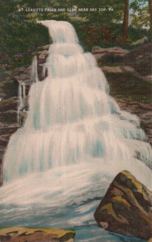
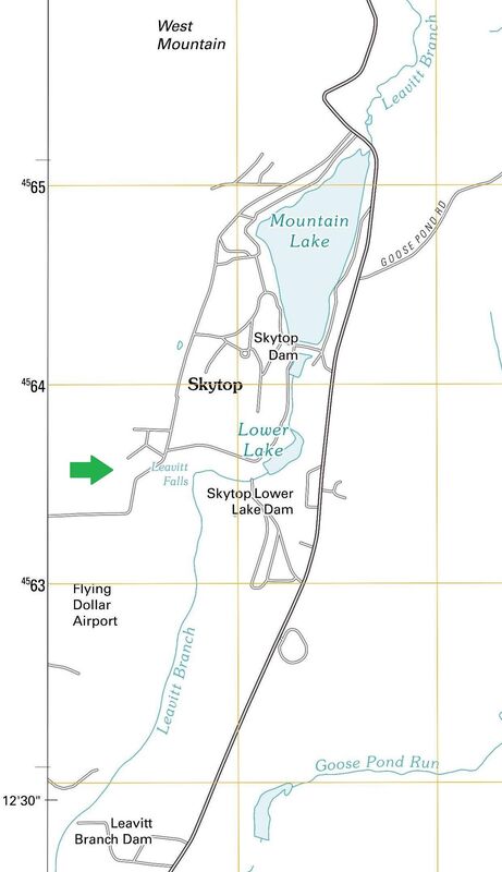
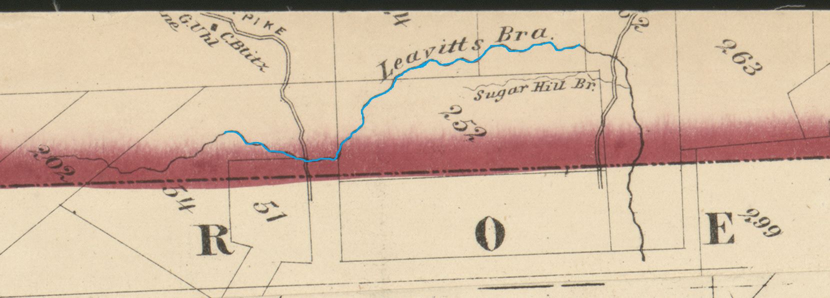
LEAVITT FALLS AND GLEN NEAR SKYTOP, PA. LEAVITT FALLS is located within Barrett Township, in the Pocono Mountains of Monroe County, Pennsylvania. Its water supply is fed by the Leavitt Branch, a stream that runs south from Greene, PA, dammed to form Mountain Lake and Lower Lake near the community of Skytop. From the 1872 map of Pike County, Pennsylvania [full map at Loc.gov], the "Leavitt's Branch" is seen at its northern point, before running south into Monroe County. Who was the namesake for these water landmarks?
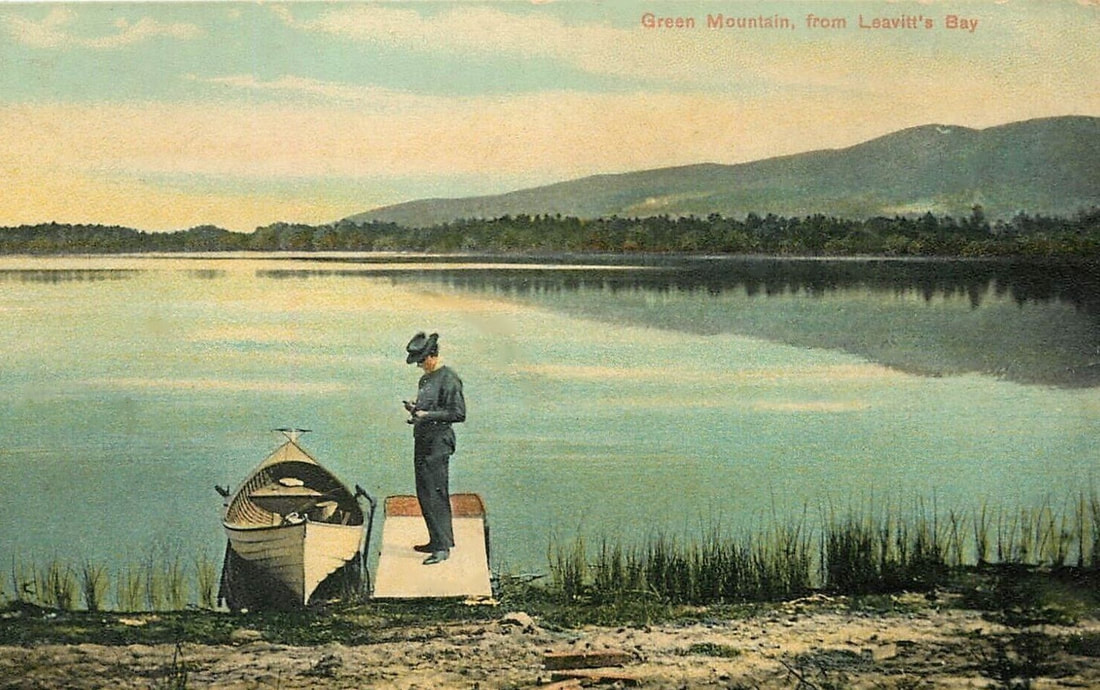
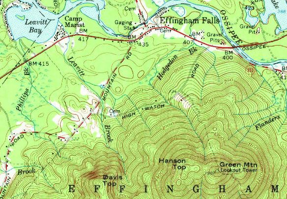
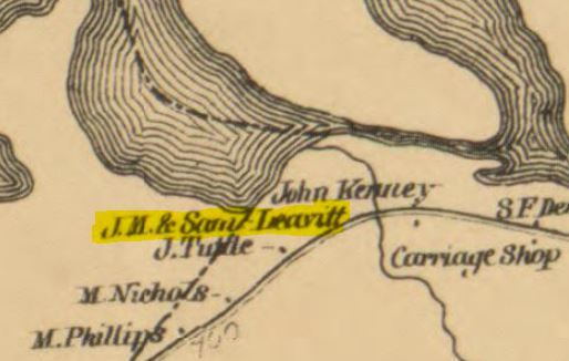
Checking census records, there were no Leavitt households in either counties of Pike or Monroe, or in adjacent ones. It is currently not clear who these bodies of water were named for. Leavitt's (or Leavitt) Bay is located on the eastern side of Ossipee, New Hampshire, bordered by the towns of Freedom and Effingham, NH. The 1859 map for Carroll County, NH shows the household of "J.M. & Sam'l Leavitt", located near the southern shore of the bay. This is James Monroe Leavitt (1821-1891) and his father Samuel (1786-1868), a Buxton, Maine branch from the Descendants of Thomas Leavitt. They were related to the Leavitt family from Hampton, NH, who were early settlers of Effingham (formerly known as Leavitt's Town). In 1850, they co-owned a 100-acre lot, bound on the northwest corner by the Ossipee town line. Samuel had, in 1838, sold a 50-acre lot on the town line to Jacob Tuttle (the "J. Tuttle on above map). Samuel and son John C. would leave Effingham for Andover, NH. James M. remained in town, where he died in 1891. Originally buried in the home cemetery, he was removed in 1930 and reinterred in the Parsons Cemetery (now in Effingham Falls Cem.). Sources:
Topographical Map of Carroll County (Library of Congress site) United States Geological Survey maps of New Hampshire (USGS map site) Carroll County Deeds: vol. 7, pg 571; Vol. 18, pg 428, 443 See also: Effingham, NH Cemeteries page for gravestone of J.M. Leavitt and family |
Leavitt
|

 RSS Feed